
I always enjoy spending part of the summer completing the Tour de Salisbury. Following the 12 courses, spread out across Delmarva, is a fun way to explore different areas, spend time with friends, and make new friends.
This was the fourth year of the Tour de Salisbury and my fourth year participating. There were, as always, 12 courses to complete during June and July to earn a Tour finish. The courses, or legs, are also Strava segments and can be completed in any order and also re-run for a faster time.
However, this year, two of the Tour legs had two options. Runners only had to choose one of the two options for each of those legs. But, also new this year was a sticker for each leg to put on a water bottle instead of the wooden ticket finisher award from the past few years. It was tough to leave stickers on the page.
Since I ended up finishing my 12 courses a little earlier than usual, I did complete all 14 legs — plus a 15th run that spelled out “The Tour” on the last day with a large group.
Assateague
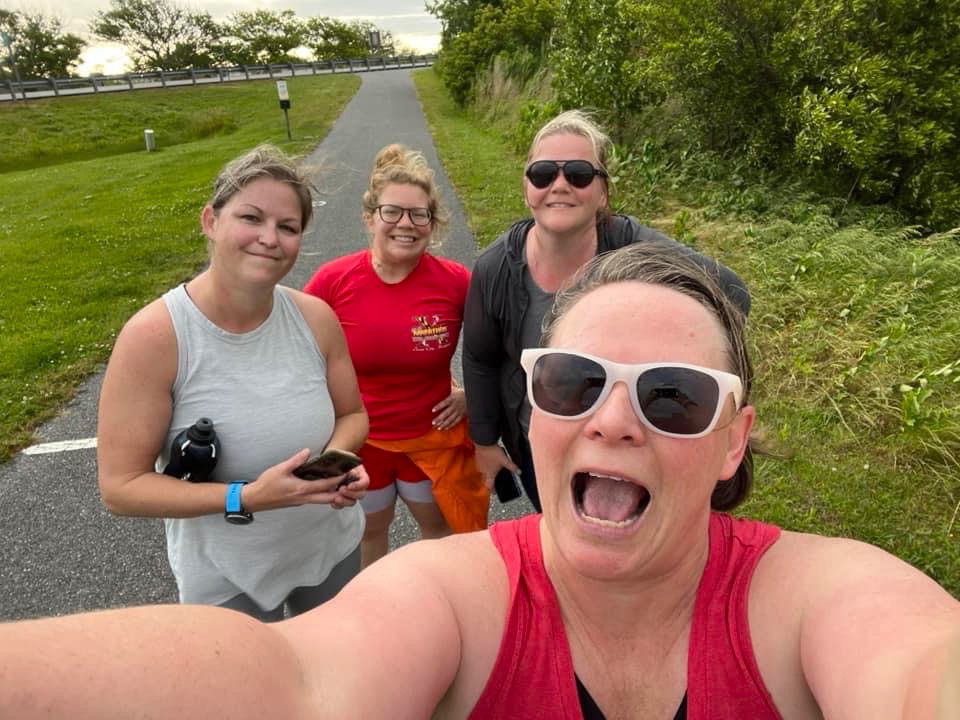
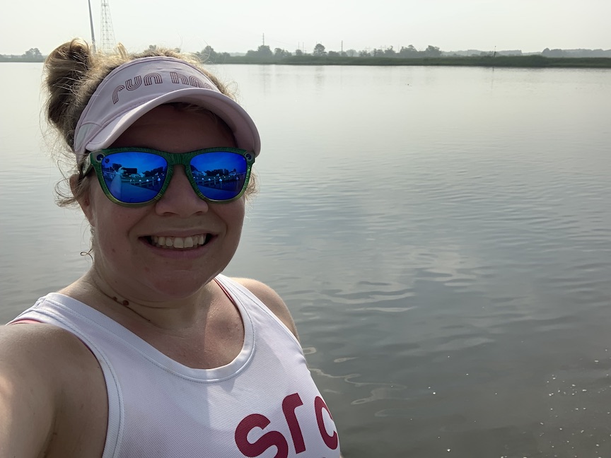
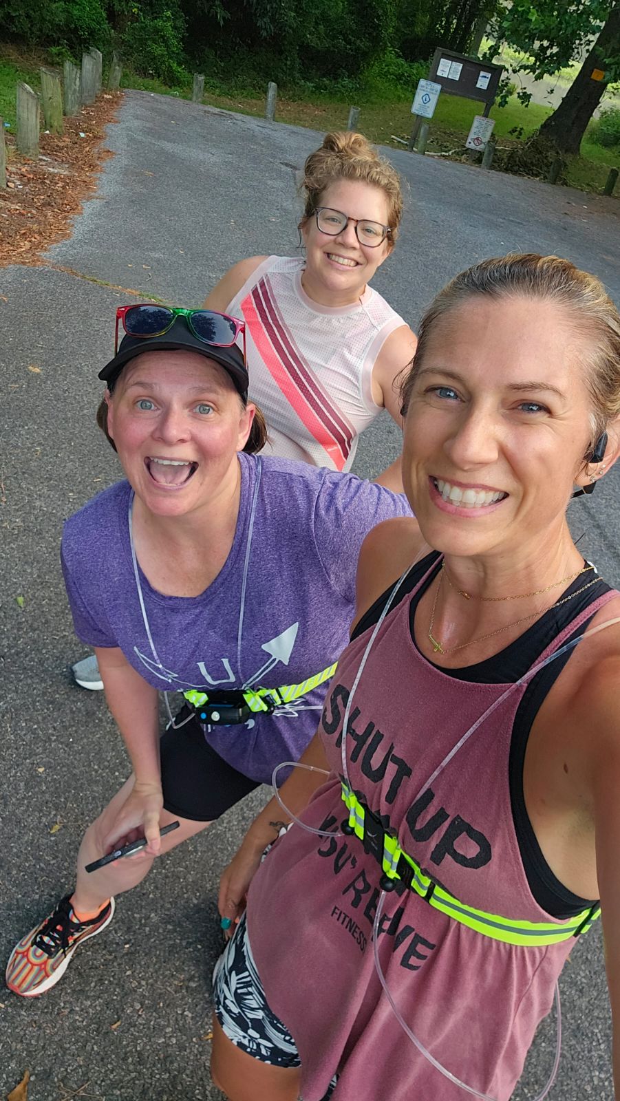
The first leg of the tour that I completed was Assateague, on Sunday, June 4. I like to do Assateague with a group, particularly because of all the sand running. This would be the first of many runs that I’d get up early for during the Tour, but this was the earliest, with a 4:30 a.m. meeting at the old K-Mart parking lot in Salisbury. I rode down with friends in the AlgonOne, the Algonquin van. It was the coolest weather I’d ever experienced on a Tour leg — I brought a jacket, and I actually used it.
While we were there at the time of the sunrise, we didn’t actually get to see a colorful sunrise. The group split up into smaller pace groups, and the group I was with did run-walk intervals, with some extra walking on the sand. The course starts and ends at the visitor center and includes about three miles on the sand. As we headed up the beach, it was windy, and it felt so much better on the way back, with a tailwind. After exiting the beach, the course includes a trail section.
My segment time was 1:46:58, a 15:17 pace for the 6.99-mile leg.
Princess Anne
The next Tour leg that I ran was the next day, Monday, June 5. I’d had other plans for that evening and the class I had planned to attend was canceled, so I decided to make the drive down to Princess Anne since it was a short drive and one of the shorter segments. This was one of the new legs of the Tour and was one of the optional ones, with the other option being the OC Reboot. I tried to go at a decently fast pace, but not what I would consider race pace for me.
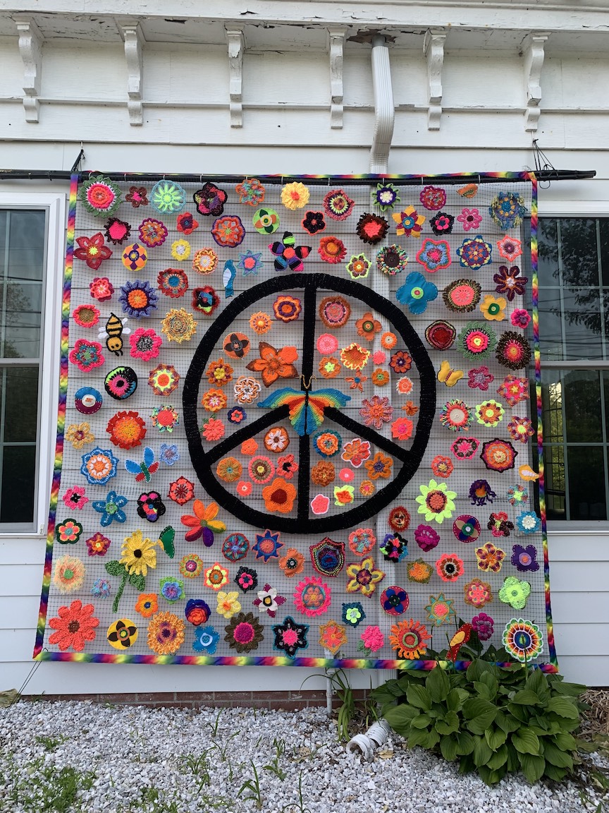
There were a lot of turns, and I wanted to make sure I made the right ones. The course included some historic sites, the downtown area and the University of Maryland Eastern Shore. There was also Todd Family Community Garden along the route. The Todds being memorialized included a dad and seven children who died of carbon monoxide poisoning, which I appreciated seeing because I wrote about that horrifically sad incident as a reporter (stories here and here).
There were also crocheted flowers all around town, which was cool. As I was leaving, I saw the Thompsons coming in. It’s always fun to see other Tourists on my travels.
This segment was 3.35 miles, and my time was 39:00, an 11:37/mile pace.
The Salisburian
My third leg of the tour was The Salisburian, which I met Melissa B. for on June 11. This one is close to my house, so even though we met pretty early (6:45 a.m.), it wasn’t too bad of a wake-up call. I enjoyed our run-walk pace as we made our way through the Johnson’s Lake and Newtown neighborhoods, Downtown Salisbury and the area around Deer’s Head.
My time for the 7.01-mile segment was 1:34:28, an average 13:28 pace.
Glen Avenue
The next day, June 12, I ran the Glen Avenue leg by myself. It’s close enough to my house that I ran to the start. For the segment, I tried to keep up a decently-fast-for-me pace while still doing three-minute-run, 30-second-walk intervals.
This route starts and ends at the Wicomico Civic Center and also includes parts of Mount Hermon Road and the Salisbury City Park. It does include my least favorite intersection in Salisbury, the six-way intersection near where I was hit by a car, but I didn’t have any trouble when I did the leg.
I run in the area often, but I’d done this exact route once, right before the Tour started. My time for the official segment was 53:09 for 4.66 miles, an 11:24/mile pace.
Chincoteague
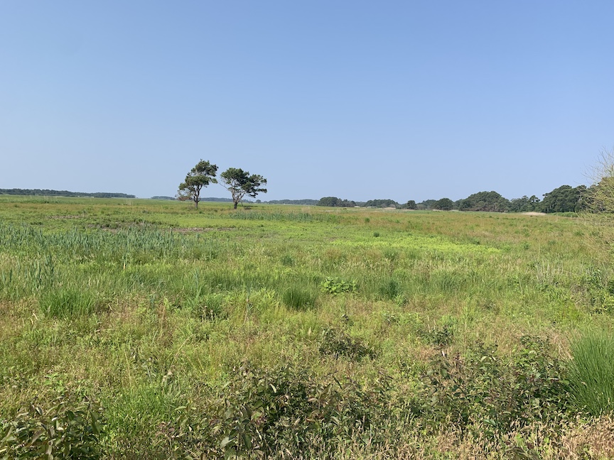
On Sunday, June 18, Diana, Rose and I headed to Chincoteague for the longest run of the Tour — 10.5 miles. While of course we enjoy running, I think the main appeal for us that day was the tacos at Pico Taqueria. This route starts on a short nature trail, then takes runners past a school and onto the main road into Chincoteague, past landmarks like Island Creamery (where we also stopped afterward).
After a long stretch of road and a photo stop, we made our way to Chincoteague National Wildlife Refuge. The refuge is beautiful, but unfortunately, it’s very buggy. We were doing run-walk intervals, and during the walk portions, the bugs were definitely more noticeable. We took the route up to the lighthouse and got a photo.
After leaving the refuge, we walked for about two miles or so. My time for this segment was 3:05:03, a 17:37/mile pace.
Vienna
The next day, June 19, I had off for Juneteenth and drove to Vienna to try to run a fast 5K on the segment, which is about a 5K length at 3.16 miles. I hoped to try to beat my time from the Ben Layton 5K — 29:37. I got up somewhat early, but because I was running alone, I didn’t start my run till 8:14 a.m. It was hot, and I had to take a few walk breaks.
Although I didn’t beat my Ben Layton time, I was still able to run the segment in 29:42, a 9:24/mile pace and still a fast 5K for me. I had hoped to return to try to run a time faster than 28:47, my fastest 5K from last year, but then I was able to do that at the Firecracker 5K, so I didn’t go back to Vienna.
Fruitland
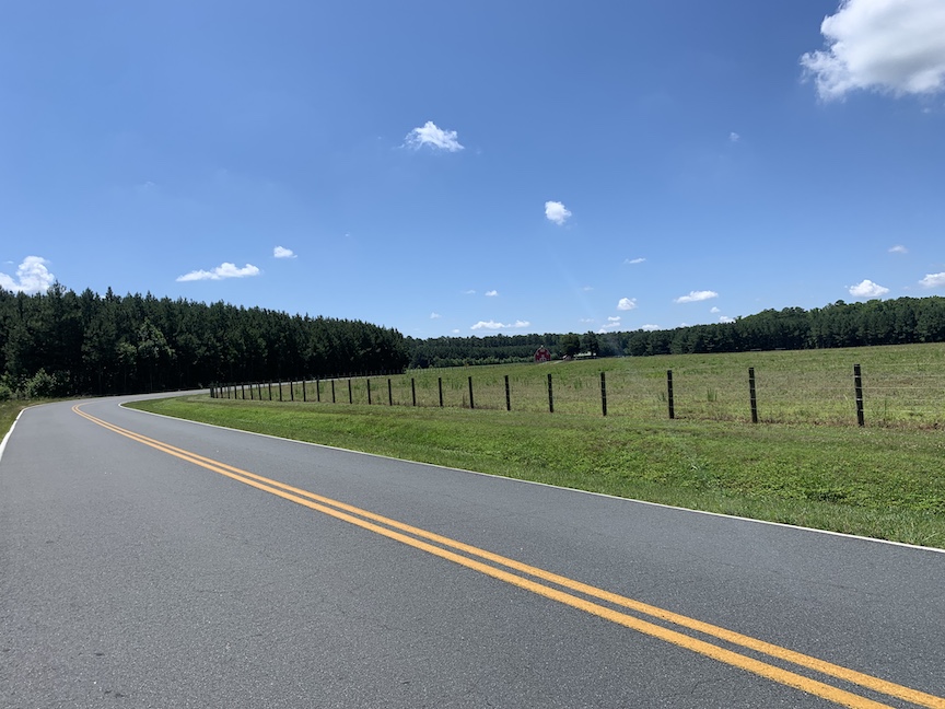
On June 25, I decided to run the Fruitland segment. This 5.7-mile run was a new segment this year and the only one that I did twice during the official Tour de Salisbury period. The course starts and ends at Fruitland Primary School and is one big loop of country roads.
Since I wasn’t meeting anyone to run this day, I started my run at 11:01 a.m. — and the weather was miserable. It was really hot, and my walk intervals got quite long by the end. My first attempt here, on this day, took me 1:27:26, a 15:20 pace. It wasn’t even my pace but really how I felt that made me want to redo this one.
I waited until the last minute, but the morning of the last day of the Tour, July 31, I decided to give Fruitland another shot. It didn’t need to be my fastest possible time, but I knew I could run faster, and I put some effort behind it. I did run-walk intervals, then sped up to just a run for the last mile, and cut more than 15 minutes off my first time. My second time was 1:11:34, a 12:33/mile pace. It was raining pretty hard, but I felt better.
Crisfield
Going into July, I’d already completed seven segments — well ahead of where I was last year, when because of a racecation/marathon and rest, I’d only gotten two done in July.
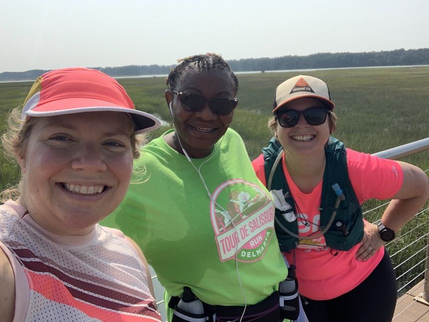
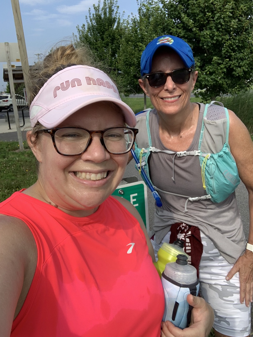
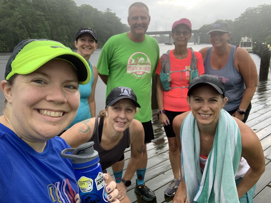
I ran the Crisfield segment, which is a little more than 10 miles — and the second longest leg of the tour — with Janet. We started our run a little after 7 a.m., and although it got hot, the early start and the company definitely helped. Janet really kept me going to a faster pace than I expected. We ran the first two miles, then did run-walk intervals.
This run goes through rural areas of Crisfield into residential and marshy areas (the bugs weren’t too bad), to the dock and up the main stretch, then past the TidalHealth McCready Pavilion and back to the start point — Mile 0 on the rail trail. It’s not very shaded. Running with Janet, I was able to complete the 10.12-mile segment in 2:03:34, a 12:12/mile pace.
Trap Pond
On the afternoon of July 3 — I had off work that day — I met up with Diana and Keely to run the Trap Pond segment on the trails of Trap Pond State Park in Laurel. Trap Pond has been part of the Tour every year, but the course changed last year to include different trails, and this year’s course was the same as last year’s. Diana and Keely were super familiar with the course and were great tour guides, so I really didn’t have to think about where I was going.
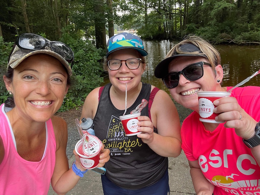
It was a really hot day, so I was expecting the conditions to feel pretty miserable, but the shade was a huge help. I ran the 5.36-mile segment in 1:19:55, a 14:54/mile pace. After the run, Keely gave Diana and me Italian ices she had brought, which was a great post-run treat. Then, we went to Tacos Chabelita. It was my first visit there, and it was delicious!
Bethel
Next up was my Bethel leg. This leg, which was 5.07 miles, was new this year and was the only one that was in a place I’d never even been to before. I had talked with Carla and Brittany about going early one day before work, but we canceled the previous date we’d planned because of the air quality. So, on July 7, I met up with them to carpool at 4:45 a.m. We started our run in Bethel, Delaware, at 5:15 a.m.
This was a nice, rural route through the communities of Bethel and Portsville. While I saw other comments about traffic, we didn’t have any problems with traffic because of the early hour. My segment time was 1:10:49, a 13:57/mile pace.
Ocean Pines
Diana and I got up early July 9 to run the Ocean Pines segment, which was part of the Tour for the first time last year. Last year, I realized just how many trails there are in Ocean Pines! The route includes both trail and road portions. It wasn’t overly hot, but still muggy. We saw some other Tourists there, too.
After finishing the 8.93-mile segment in a time of 2:19:50, a 15:39 pace, we headed to A Bagel And… for breakfast.
Pocomoke
My last official leg of the Tour — my 12th leg — was the new 4.2-mile Pocomoke segment, which included trail and road portions. I’d picked July 16 for this run and had a decent size group say they were going to join me. We carpooled to the start, and it was raining.
Of course, as soon as we got there, a thunderstorm began. I usually don’t run in thunderstorms, but we’d already driven there. Luckily, everyone was OK, and I was glad that it wasn’t one of the longer legs. I don’t mind running in the rain, but this was a downpour. It was a nice change from the heat, though.
Carol had already run the course and served as a great tour guide. Part of the course involved turning off a path through a field, and it could have been confusing exactly where to go if not for her guidance. I have been to Pocomoke, but I haven’t run in the actual city (aside from at Algonquin), so it was fun to see more of it.
My time for this sopping-wet segment was 59:38, a 14:12/mile pace. I did end up with some different-than-usual bug bites as a result of this run.
Tyaskin
Since I finished the official 12-leg tour with two weeks to spare, I decided to get in the two alternate routes — Tyaskin (could be run in place of Assateague) and Ocean City (could be run in place of Princess Anne).
Diana and I headed to Tyaskin on July 23, and the weather was much more pleasant than it had been the previous weekend. Although it was one of the alternates, this was one of my favorite courses. It was rural, scenic and brought us to two wharfs. We started and ended at Wetipquin Park, which I visited for the first time when this segment was added to the Tour. Diana brought doughnuts for afterward, which we enjoyed against the backdrop of the beautiful scenery.
My time for the 7.23-mile route was 1:37:04, a 13:25 pace. Since this was faster than my Assateague time, I swapped it out online.

Ocean City
I ran my last of the first 14 segments, the Ocean City Reboot, on the second-to-last day of July, with Janet and Yvonne. This was offered as the 13th leg last year, but since I ran 10 of the 12 segments in July last year, I didn’t get to the 13th leg. It’s called the “Reboot” because the Ocean City segment of the Tour used to be a different route that included the whole Ocean City Boardwalk.
The course is 3.29 miles and goes from the West Ocean City park-and-ride across the Route 50 bridge to Downtown Ocean City, with a little bit on the Boardwalk. I felt good on this morning and finished the segment with a time of 39:24, an 11:58/mile pace. My time was just 24 seconds slower than the other option for this leg, Princess Anne. Afterward, I spent some time at the beach.
“The Tour”
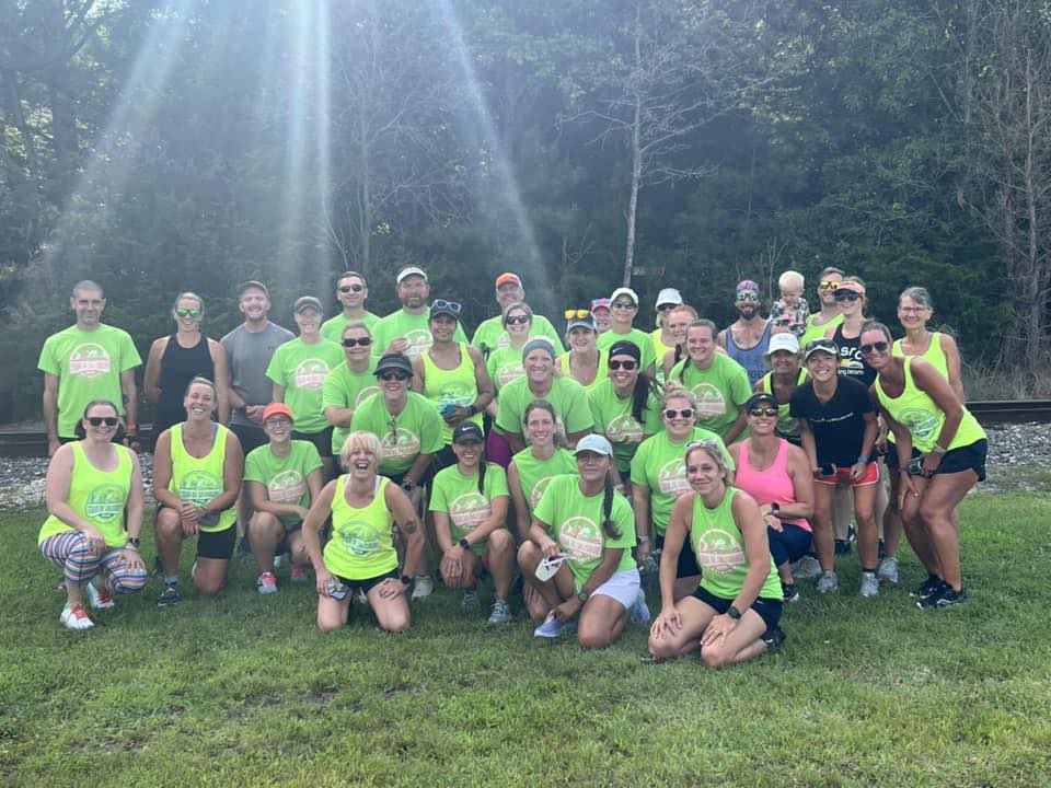
I kicked off the last day of The Tour —Monday, July 31 — with my second attempt at the Fruitland segment in the morning and a big group run in the shape of “The Tour” in the evening. This course was created by Carla and actually spelled out “The Tour” on Delmar’s streets, which are set up in a grid.
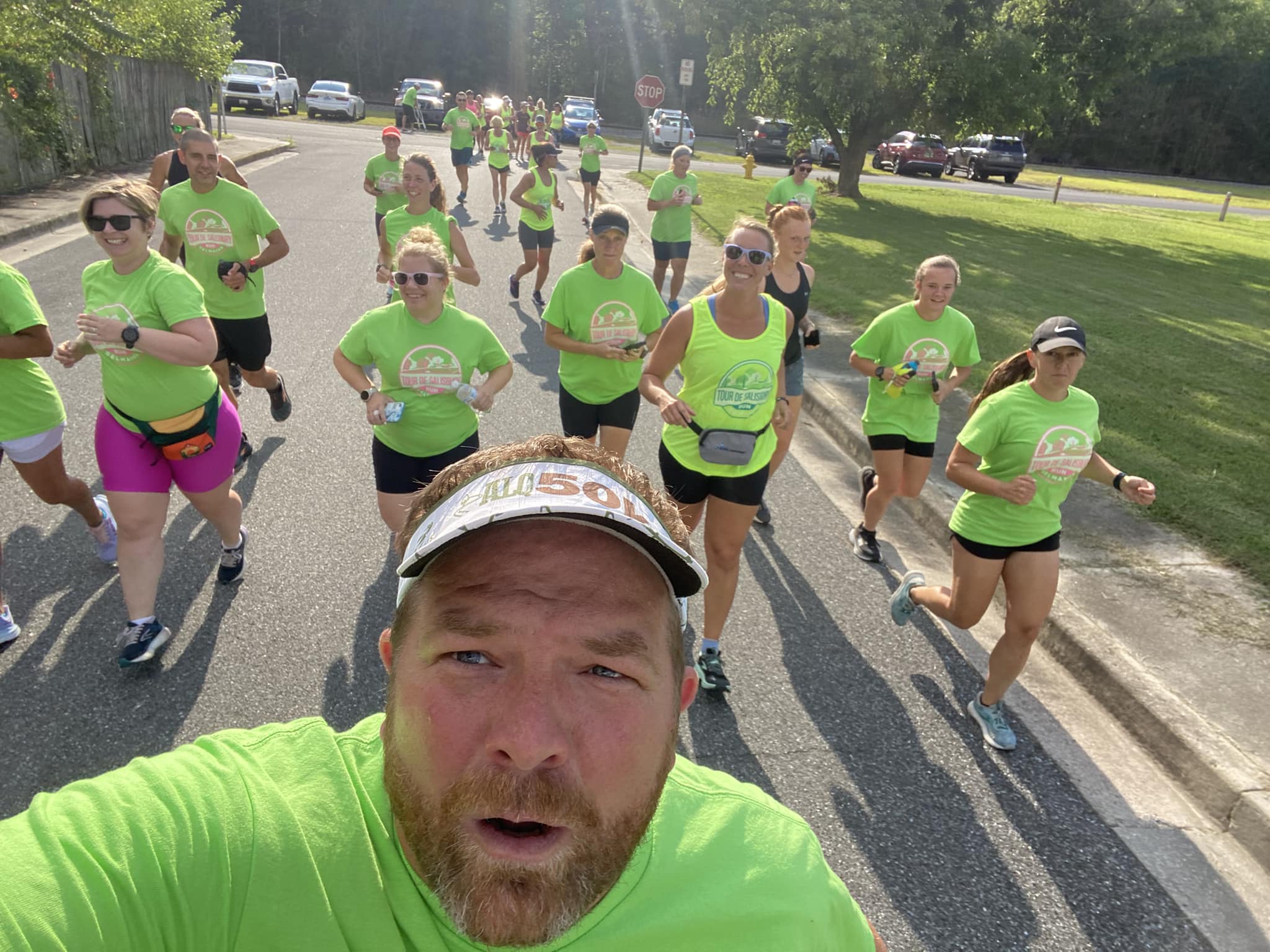
I couldn’t remember exactly where the course started, but I knew where I usually met up with people in Delmar, and then I saw the big group of people wearing green shirts. The run had been Carol’s idea, and it really took hold, with a large group showing up, many in their Tour shirts. It made the group easy to find.
The group took off a little faster than I’d planned on running, and since I hadn’t loaded the course into my watch and my phone was almost dead, I figured I would just try to stick by Carla, since she created the course. Luckily, after some straight running, we ended up doing run-walk intervals, like I’d done for most of the runs of the Tour.
Afterward, some of us headed to nearby Loakal Branch Brewing Co., which also hosts one of our weekly Eastern Shore Running Club group runs.
My final time for the 12 legs, totaling 75-ish miles, was 17:23:46. Of the four times I’ve done the Tour, three of my times have started with a “17,” with the other starting with a “19.” However, for me, it’s really more about fun with friends, exploring scenic places and staying motivated during my least favorite season of the year to run (bring on the cooler weather!).

One thought on “I again enjoyed the Tour de Salisbury — this year, featuring extra segments!”
Comments are closed.